

Description
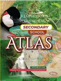
The Longhorn Comprehensive Secondary School Atlas for Uganda is an essential learning and reference resource for secondary school students, teachers and geography enthusiasts.
Developed to support Uganda’s competence-based lower secondary curriculum, this atlas combines detailed maps, illustrations, full-colour photographs and geographical information to help learners understand their environment and the wider world.
Key Features:
- Detailed maps and practical map-reading activities.
- Uganda’s districts, physical environment, population, economic activities and settlement.
- Comprehensive coverage of East Africa and Africa.
- Information on continents, the solar system and world regions.
- Political divisions, climate and vegetation regions.
- Human rights, sustainable development goals and international organisations.
- Activities that support geographical skills and real-life learning.
Ideal For: Secondary school students, geography teachers, schools, libraries and educational institutions.




Reviews
There are no reviews yet.